Our Services
At the Narragansett Bay Estuary Program, we envision clean water and habitat to sustain all who live, work and play in the Narragansett Bay Region. Our direct services to partners include (but are not limited to) collaborative planning, science communication, and funding.

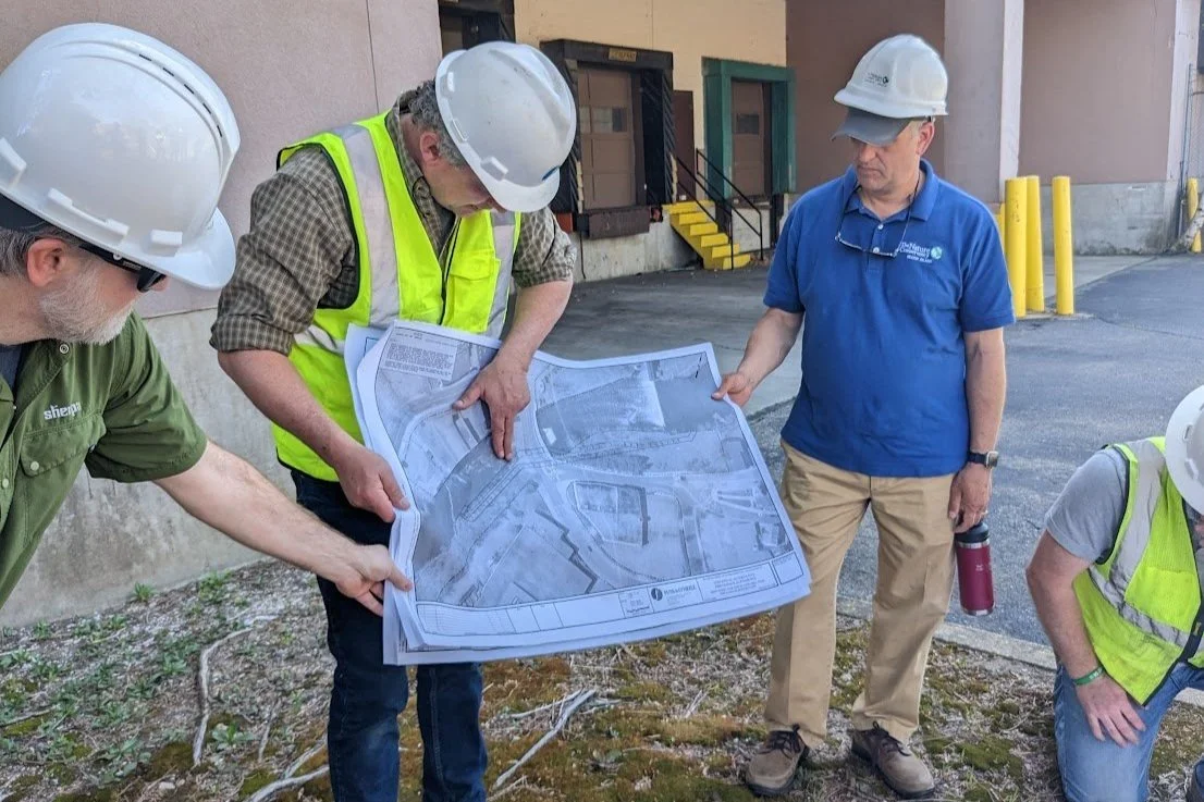
Collaborative Planning
At NBEP, we offer collaborative planning services to partners, including consensus building, watershed planning, diplomacy, and more. View the gallery below for examples of our collaborative planning work.


Science Communication
Communicating the science of the Narragansett Bay watershed is critical to understanding and protecting the water, wildlife, and way of life in our region. See the gallery below for some examples of how we are communicating science in the Narragansett Bay region.


Funding
At the Narragansett Bay Estuary Program, we seek to fill gaps in our region by providing funding to our partners for pre-construction work. See the gallery below for more information about our funding opportunities and about the projects we fund.