Our Region
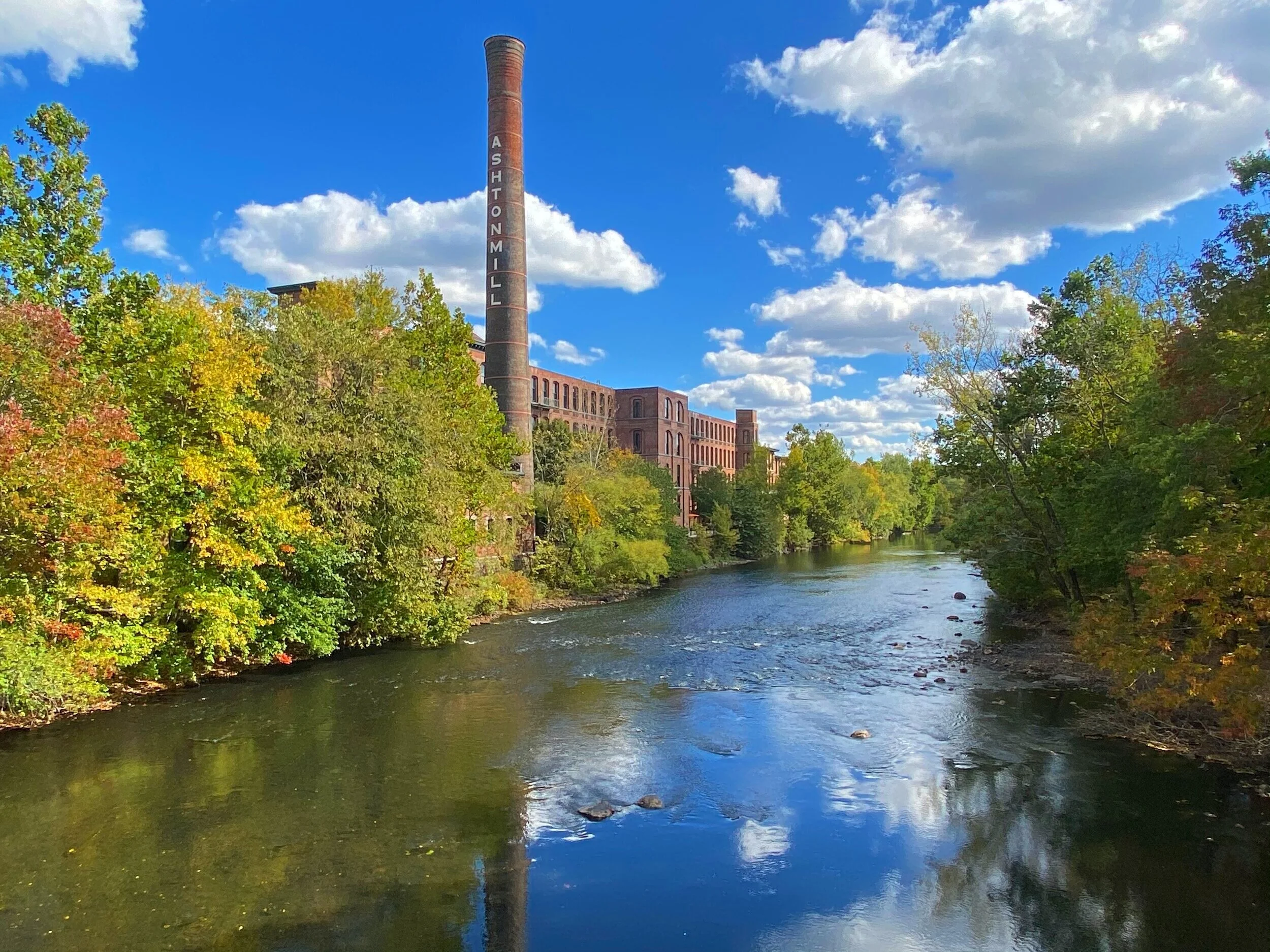
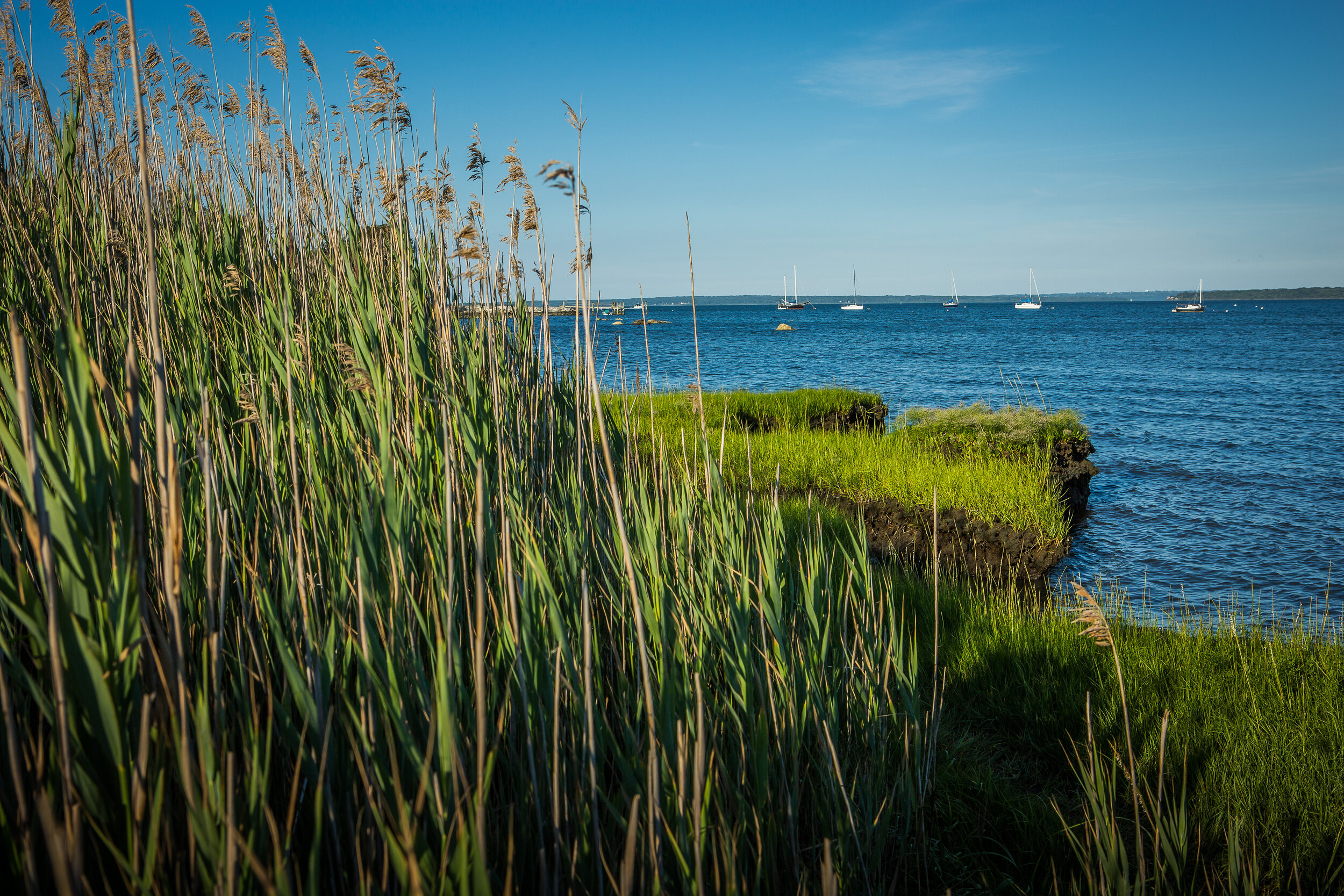
The Narragansett Bay region spans the watersheds of Narragansett Bay, Little Narragansett Bay, and the Rhode Island Coastal Ponds
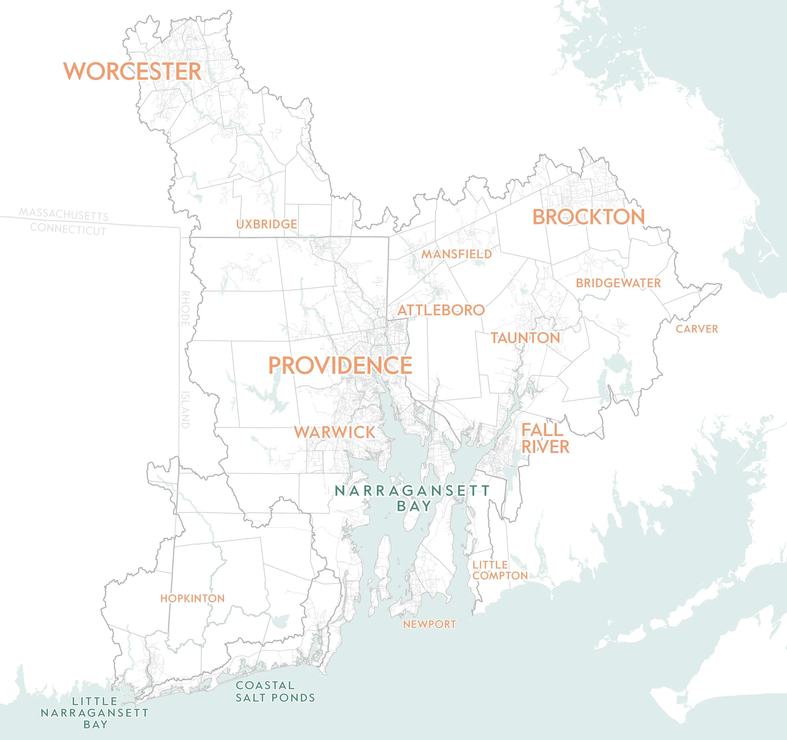
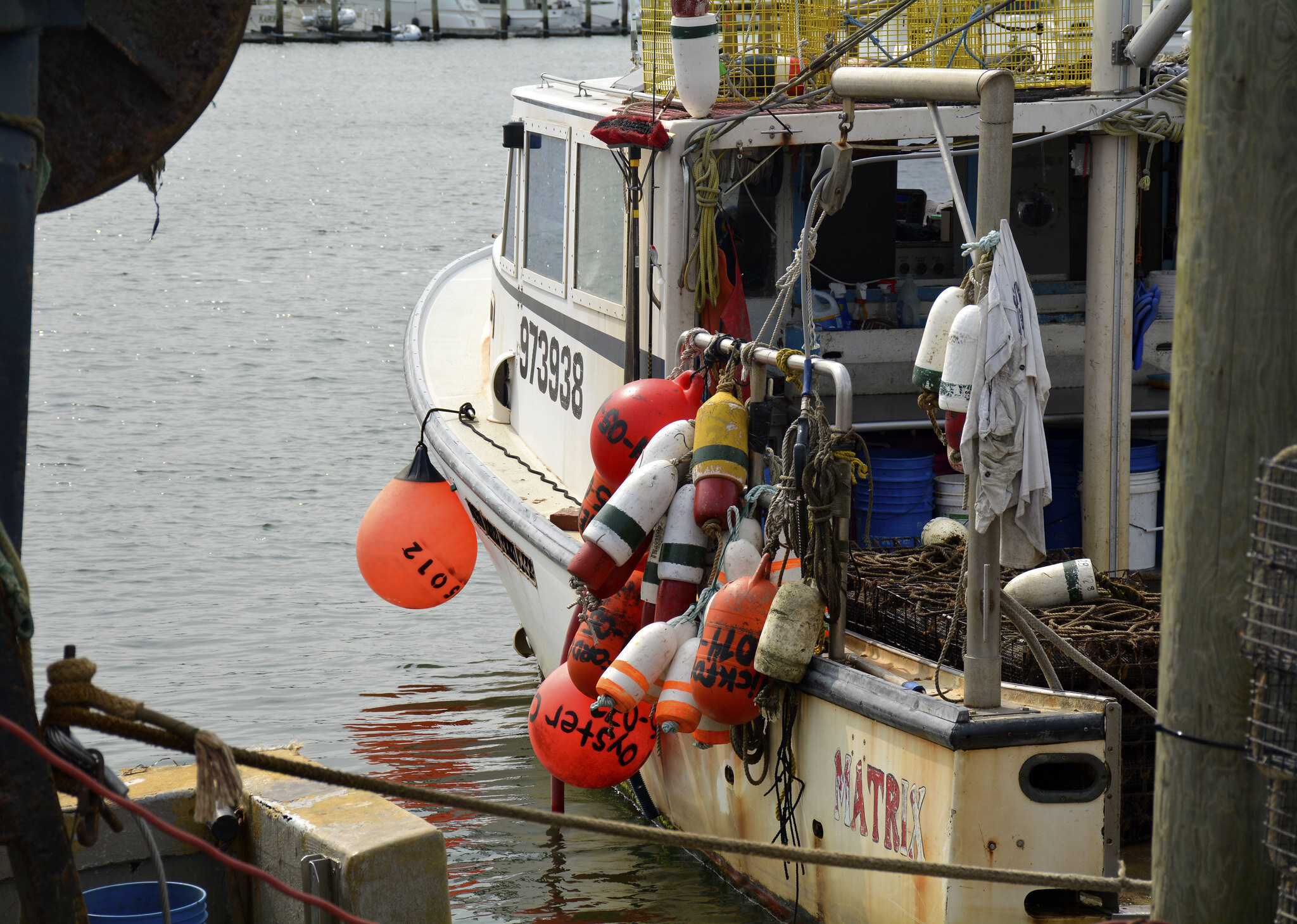
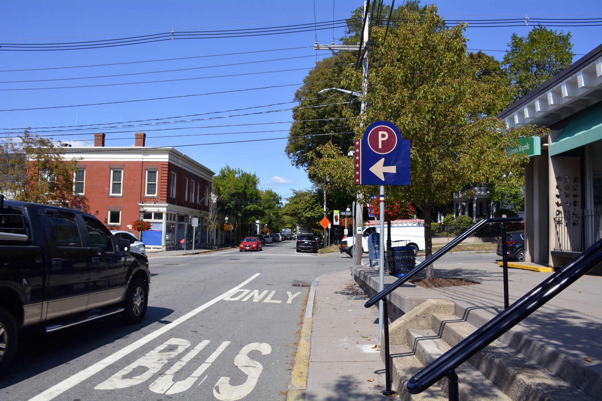
Our landscape unites 2 million people across 113 communities in 3 states. It hosts diverse habitats that sustain wildlife and vital economies.

The Narragansett Bay region spans the watersheds of Narragansett Bay, Little Narragansett Bay, and the Rhode Island Coastal Ponds
Our landscape unites 2 million people across 113 communities in 3 states. It hosts diverse habitats that sustain wildlife and vital economies.
+ What is an estuary?
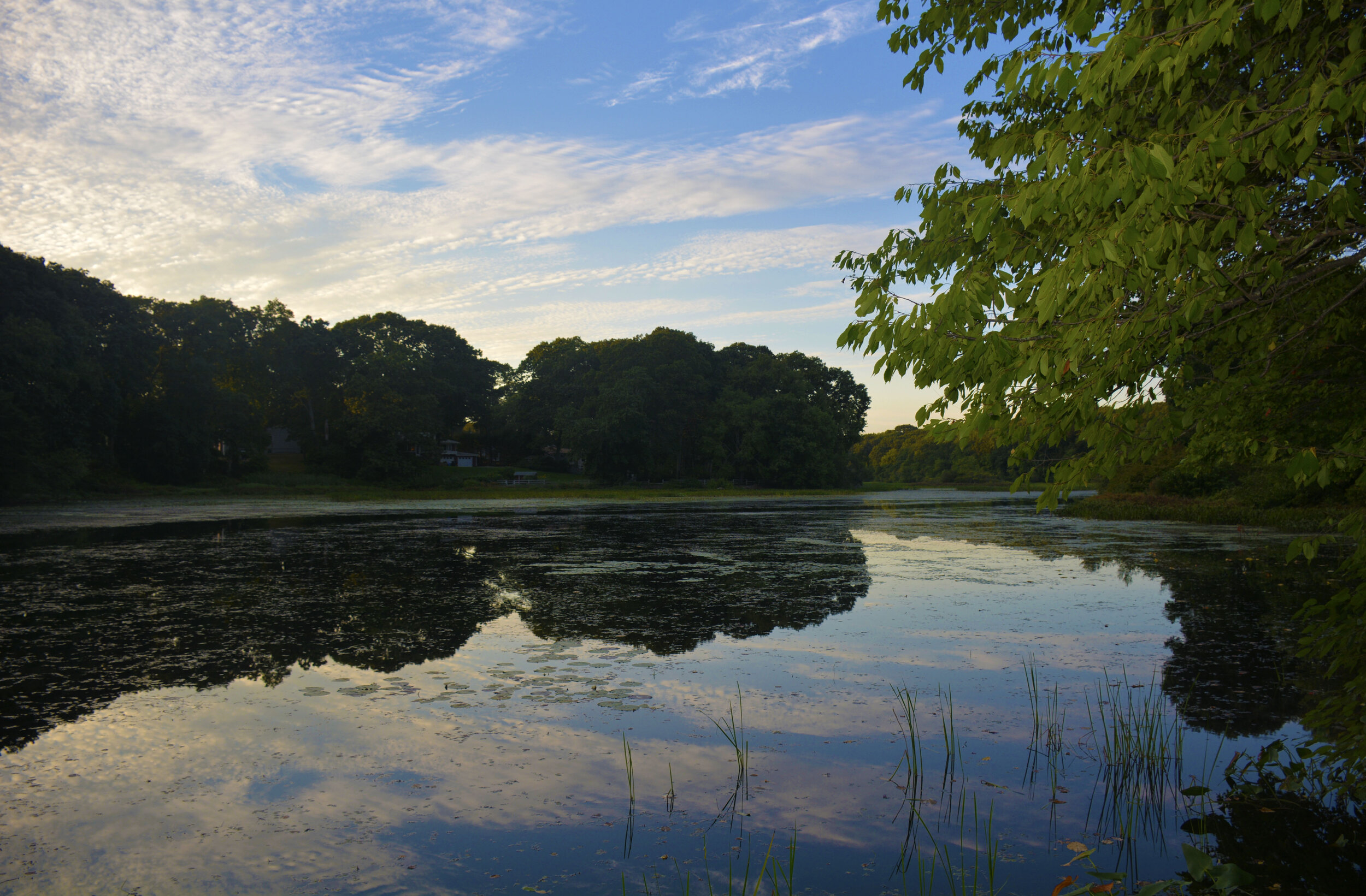
An estuary is a waterbody where inland freshwaters from rivers meet and mix with salty seawaters. We work in three estuaries – Narragansett Bay, Little Narragansett Bay, and the Coastal Salt Ponds.
+ What is a watershed?
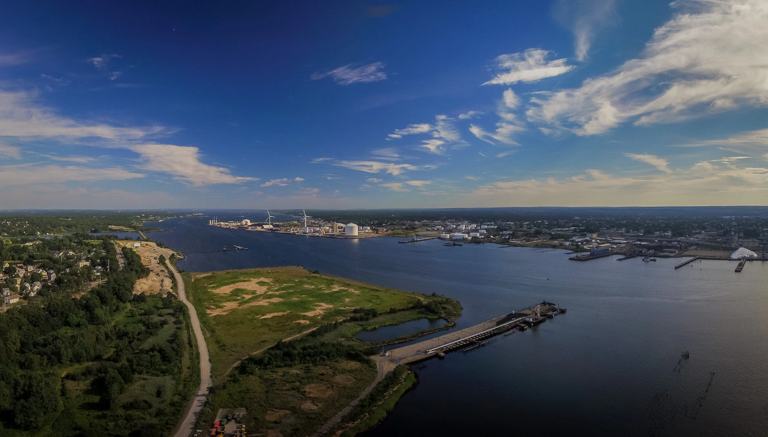
A watershed is an area of land that channels rain, snowmelt, and groundwater to creeks, streams, rivers, and eventually to bays and the ocean. The boundary of a watershed is determined by the highest ridge that separates water as it flows downhill. Our watersheds include 1.3 million acres of land across Rhode Island, Massachusetts, and Connecticut that eventually drain to Narragansett Bay, Little Narragansett Bay, and the Coastal Salt Ponds.
+ What is the Narragansett Bay region?
Our region includes the areas of Massachusetts, Rhode Island, and Connecticut that channel into Narragansett Bay, Little Narragansett Bay, and the Coastal Salt Ponds through the rivers, creeks, and groundwater.
We track conditions and trends in our region at the watershed scale down to local scales