Explore the Science
o
Our Region at a Glance
Get your bay and watershed facts — quick.
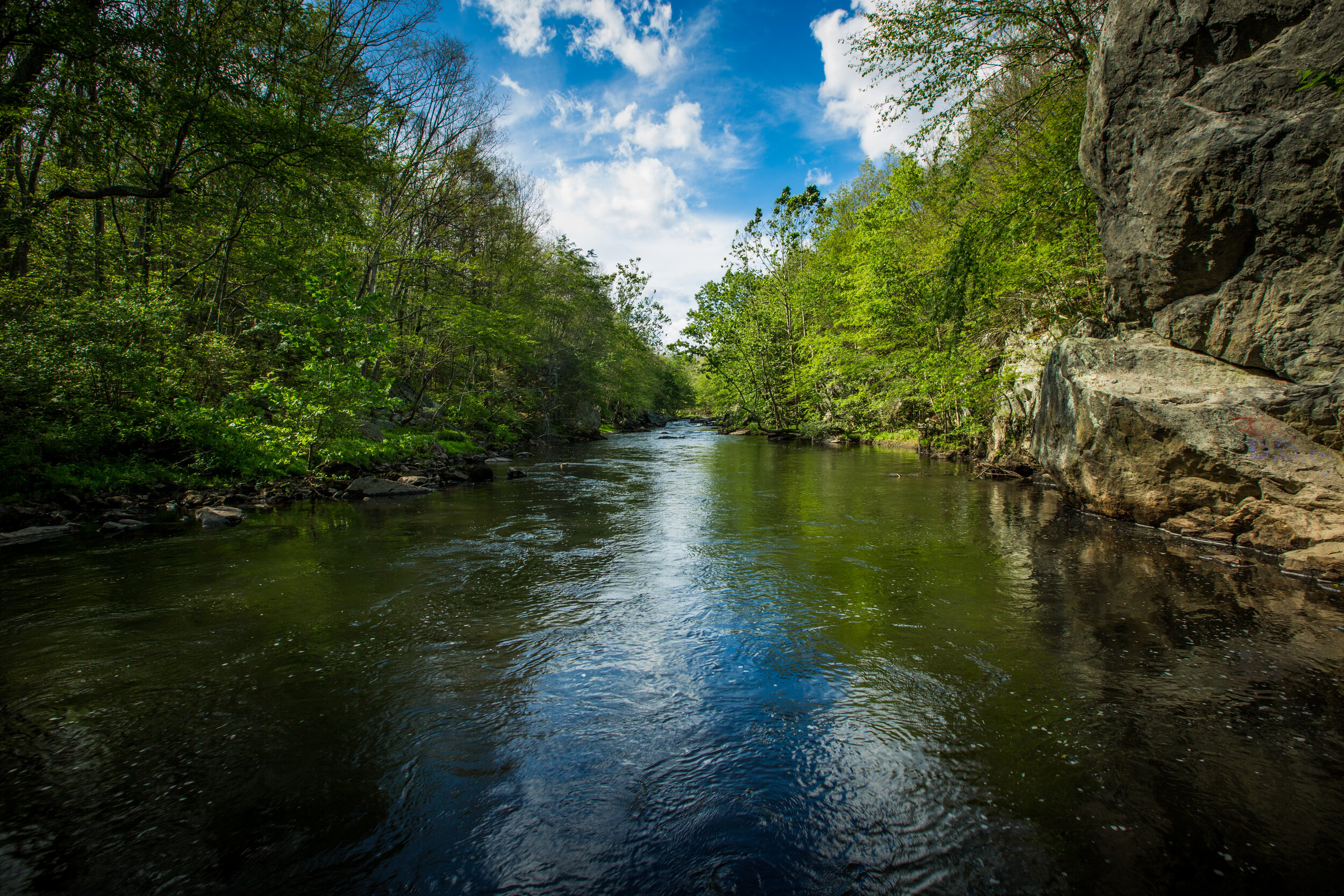
Little Narragansett Bay
Estuary Proper: 4.8 square miles
Salty Shoreline: 37 miles (including islands)
Watershed: 317 square miles
Max Elevation: 673 feet (in West Greenwich)
Residents: 78 thousand people
Towns & Cities: 4 in CT, 9 in RI
Major Tributaries: Wood River and Pawcatuck River
Streams & Rivers: 521 miles
Invisible Spacer
RI Coastal Ponds
Ponds: 8.7 square miles
Salty Shoreline (Ponds): 136 miles (including islands)
Salty Shoreline (South Coast): 32 miles
Watershed: 56 square miles
Max Elevation: 286 feet (in South Kingstown)
Residents: 28 thousand people
Towns & Cities: 3 in RI
Major Tributaries: Saugatucket River
Streams & Rivers: 49 miles
Narragansett Bay
Estuary Proper: 196 square miles
Max Depth: 194 feet (near Newport)
Salty Shoreline: 563 miles (including islands)
Watershed: 1,705 square miles
Max Elevation: 1,388 feet (near Worcester)
Residents: 1.95 million people
Towns & Cities: 71 in MA, 34 in RI
Major Tributaries: Blackstone River, Taunton River, and Pawtuxet River
Streams & Rivers: 3,578 miles
o
Narragansett Bay

What has the latest bay science shown us?
In the Bay, salt marshes and sea grasses have declined considerably from historical extents. Fish communities are changing toward seasonal and mid-Atlantic species. Climate change has brought higher rainfall, temperatures, and sea levels. Still, nutrient reductions have resulted in recovery in the Bay, including visible recovery on the sea floor. Meanwhile, the bay continues to support many vibrant uses including shellfishing, swimming, and boating.
55% of nitrogen was reduced to the bay since 2000

Half of the Bay is still unhealthy for aquatic wildlife
Life on the seafloor has been recovering
Since 1988, benthic habitat has improved over 30 years of nutrient reductions. From 2008-2018, habitat at 80% of sampling sites improved or maintained good quality. Intermediate and mature communities were found at 71% of sites in 2018. Room for improvement remains in areas of the Upper Bay.
Rainfall has increased by 0.4 inches per decade
Sea level rose 9 inches since 1930
3,371 acres of salt marsh were observed in 2012
Bay temperatures rose 3°F since 1960
Fish communities are changing
Seasonal migrant species such as scup, black sea bass, and butterfish have displaced demersal resident species such as winter flounder and red hake. As the bay and open ocean continue to warm, fish communities will trend from a southern New England temperate toward a Mid-Atlantic estuarine community.
Just 479 acres of seagrasses were observed in 2016
Prior to the 1930s, seagrasses were prevalent throughout the bay, including the Providence River Estuary and Mount Hope Bay. After a marked decline, seagrasses are now found predominantly in the Lower Bay. Warmer temperatures and sea level rise may impair seagrass growth and survival.
85% of the Bay is fit for recreation
63% of shellfishing areas were open in 2015
There are 338 public access points to the shore
What does the science tell us about our watershed?
In the Narragansett Bay watershed, our population and the landscape has changed dramatically since the Industrial Revolution. As population and developed areas grow, forests continue to shrink. Loss of the natural protections by forests and wetlands impacts wildlife and the health of our inland and coastal waters. These impacts are felt particularly in our underserved communities, a legacy that has been shaped by the history of our landscape.
Our population grew by 8% since 1990
We lost 6% of our forests and gained 10% developed lands since 2001
The watershed is 14% impervious cover
43% of natural lands remain unprotected
>50% of assessed streams/rivers are fit for aquatic wildlife
25% of assessed ponds/lakes are fit for aquatic wildlife
34% of assessed streams/rivers are fit for recreation
80% of assessed ponds/lakes are fit for recreation
37 sewage treatment plants serve 62% of residents
Higher-risk populations see greater burdens
o
Little Narragansett Bay

What has the latest science shown us?
Compared to the Narragansett Bay watershed, the Little Narragansett Bay watershed is more heavily forested and protected under conservation lands. Water quality impacts tend to be concentrated near developed areas. Within the bay proper, seagrasses remain scarce and shellfishing is typically restricted. The Barn Island Wildlife Management Area—the largest managed coastal habitat area in Connecticut—protects substantial areas of healthy salt marsh, deciduous forest, and avian habitat.
605 acres of salt marsh were observed in 2012
96 acres of seagrasses were observed in 2016
In Little Narragansett Bay, the largest seagrass area is bookended by the Sandy Point Nature Preserve and the Napatree Point Conservation Area. Seagrasses declined from 201 acres in 2012 to 96 in 2016. This may be tied to a broader pattern of decline across the region, or may simply reflect variable seasonal conditions.
100% of the bay is closed to shellfishing
There are 11 public access points to the shore
>70% RI-assessed streams/rivers are fit for aquatic wildlife
73% RI-assessed ponds/lakes are fit for aquatic wildlife
60% RI-assessed streams/rivers are fit for recreation
100% RI-assessed ponds/lakes are fit for recreation
The population grew by 21.5% since 1990
We lost 1.4% of forests and gained 3.5% developed lands since 2001
The watershed is less than 5% impervious cover
Upper Wood River has the most protection in the watershed
o
Coastal Ponds

What has the latest science shown us?
The Rhode Island coastal salt ponds are a treasured coastal resource for Rhode Islanders and visitors alike. Each pond has a unique identity, and supports a range of wildlife and coastal habitats and well as many important commercial and recreational activities. The watershed is small with a growing population and expanding development in the last twenty years. Notable conservation efforts have contributed to keeping the many public access points, vibrant salt marshes, and shellfishing areas fit for use.
944 acres of salt marsh were observed in 2012
442 acres of seagrasses were observed in 2016
Warmer temperatures and sea level rise may impair seagrass growth and survival. In the Ponds, seagrasses declined from 603 acres in 2009, to 523 acres in 2012, and to 442 acres in 2016. This may be tied to a broader pattern of decline across the region, or may simply reflect variable conditions in the two sampling years.
78% of shellfishing area were open in 2015
There are 63 public access points to the shore
60% of assessed streams/rivers are fit for aquatic wildlife
85% of assessed ponds/lakes are fit for aquatic wildlife
No assessed streams/rivers are fit for recreation
100% of assessed ponds/lakes are fit for recreation
The population grew by 23% since 1990
We lost 5.1% forests and gained 6.3% developed lands since 2001
The watershed is 11% impervious cover
Nearly 40% of undeveloped lands remain unprotected